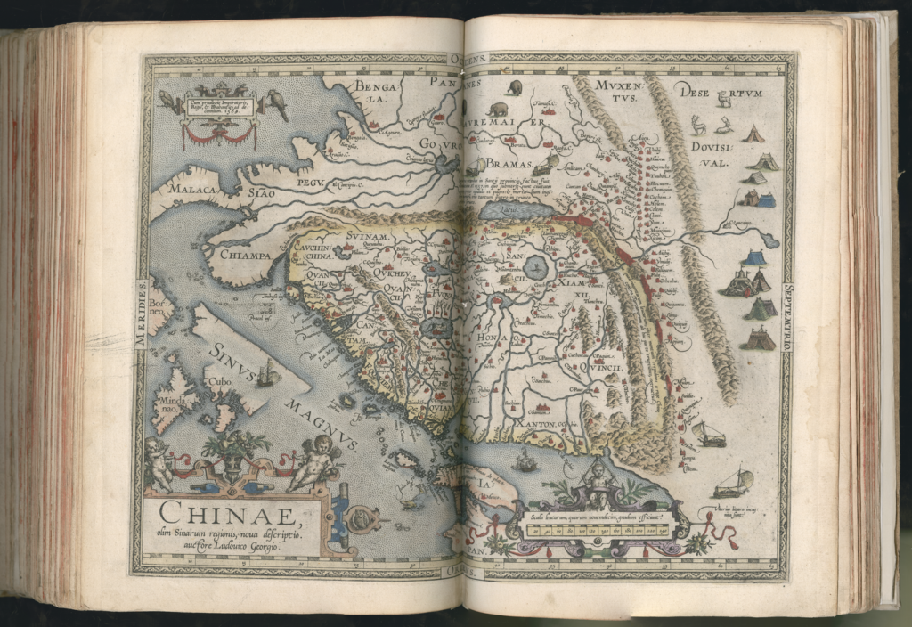
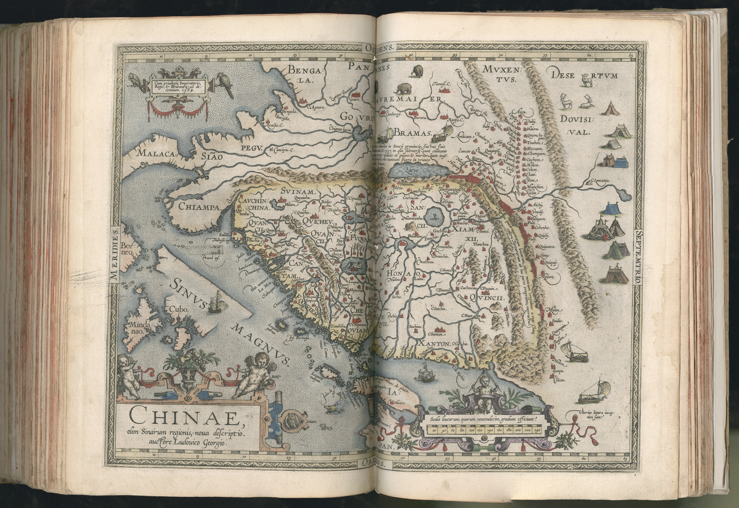
The Flemish scholar and geographer Abraham Ortelius (1527–98) published the first edition of his Theatrum orbis terrarum (Theater of the World) in 1570. Containing 53 maps, each with a detailed commentary, it is considered the first true atlas in the modern sense: a collection of uniform map sheets and accompanying text bound to form a book for which copper printing plates were specifically engraved. The 1570 edition was followed by editions in Latin, Dutch, French, German, and Spanish, with an ever-increasing number of maps. It is not known who engraved and printed the maps, but for printing the typographical parts of the atlases Ortelius commissioned a series of Antwerp printers: initially Aegidius Coppens van Diest, followed by Aegidius Radeus in 1575, and in 1579–89 Christopher Plantin (1520–89). Shown here is the French edition of 1587, which contains the same maps as the Latin edition of 1584. For printing the texts, Plantin charged Ortelius 177 florins in June-July of 1587. Plantin was an influential Renaissance humanist and printer. A native of France, he settled in Antwerp around 1549, where he worked first as a bookbinder and, in 1555, established his own publishing house, De Gulden Passer (The Golden Compasses).
View Source© 2024 Pixel Fable. All rights reserved.